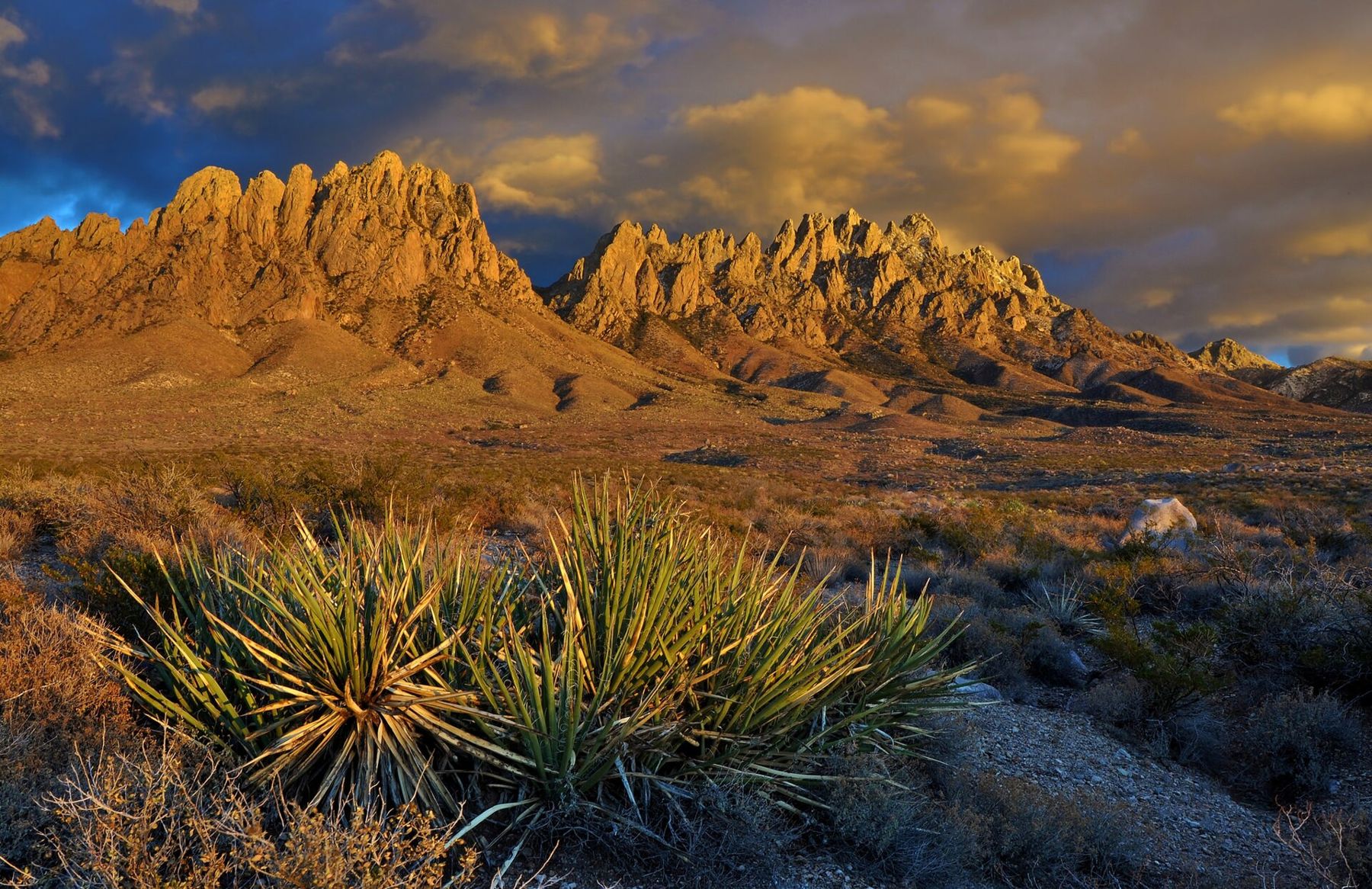
From almost anywhere in Las Cruces, look east. The Organ Mountains fill that side of the sky: a ragged line of spires and pinnacles rising from a gentle apron of desert to about 9,000 feet at the Organ Needle, roughly a mile above the city. The tall, close-set rock columns reminded early travelers of the pipes of a church organ, and the name stuck.
The range is the most visible part of the Organ Mountains-Desert Peaks National Monument, proclaimed in 2014 and managed by the Bureau of Land Management. The monument covers close to half a million acres in several separate pieces around Las Cruces, including the Organs, the Doña Ana Mountains to the north, and a scatter of desert ranges and old volcanic fields west of the Rio Grande. The Organs are where most visitors start.
A range made of light
The high spires are mostly pale, granite-like rock, and they change color all day. At sunrise, if you are in Las Cruces, they stand as a dark silhouette against the dawn; the east face is the one that catches the first sun, which is one reason to camp or arrive early on that side at Aguirre Spring. Through the middle of the day they flatten into grey and tan. Then, late in the afternoon, the west face turns toward the sun and the whole range lights up.
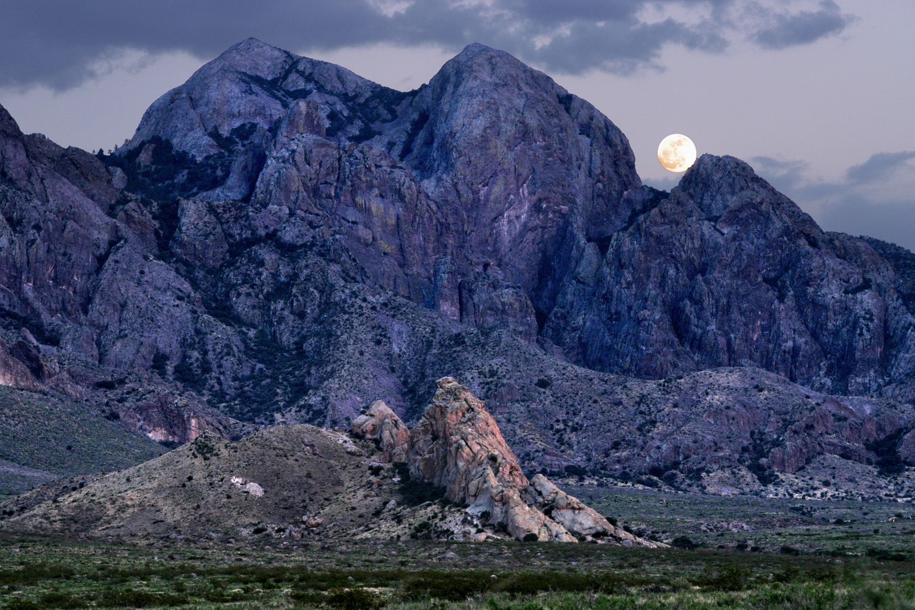
Sunset is the classic moment. The needles go gold, then orange, then a soft pink, while the desert floor below drops into shadow. In winter, a dusting of snow on the upper peaks makes the effect stronger. On the evening of a full moon, the moon rises in the east as the sun sets in the west, and if you are lucky it clears the ridge while the last light is still on the rock.
The needles go gold, then orange, then a soft pink, while the desert floor below drops into shadow.
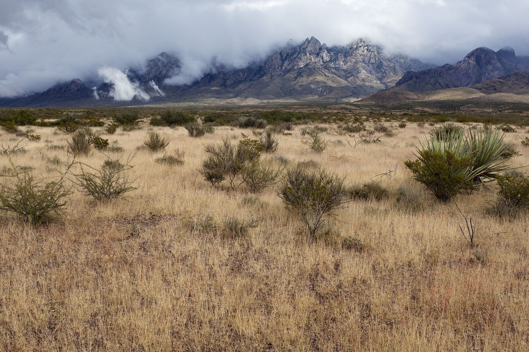
You do not need to hike to enjoy this. Any open spot on the east side of Las Cruces works, and the drive up Dripping Springs Road toward the mountains gives a wide view of the west face across the bajada, the long slope of gravel and desert scrub at the foot of the range.
Ways in: west side and east side
There are two main approaches, and they feel quite different.
The west side faces Las Cruces. Dripping Springs Road runs east from the city to the Dripping Springs Natural Area, where a visitor center, picnic areas and several trails sit right under the cliffs. This is the easiest way into the range: a short drive, well-marked paths, and history along the way at the ruins of an old mountain resort and sanatorium. The Dripping Springs trail is the walk most visitors do first.
The east side is reached by US 70, which climbs over San Augustin Pass at the north end of the Organs and drops into the Tularosa Basin. A side road leads up to the Aguirre Spring campground, tucked under the east face, with picnic sites, campsites and the Pine Tree Trail. The views from there run out over the basin. Read the Aguirre Spring story before you go; the access road is steep and narrow.
A third, rougher possibility is Baylor Pass, a trail that crosses the range between the two sides. It is a long, exposed walk and best done with a car shuttle, in cool weather, by experienced hikers.
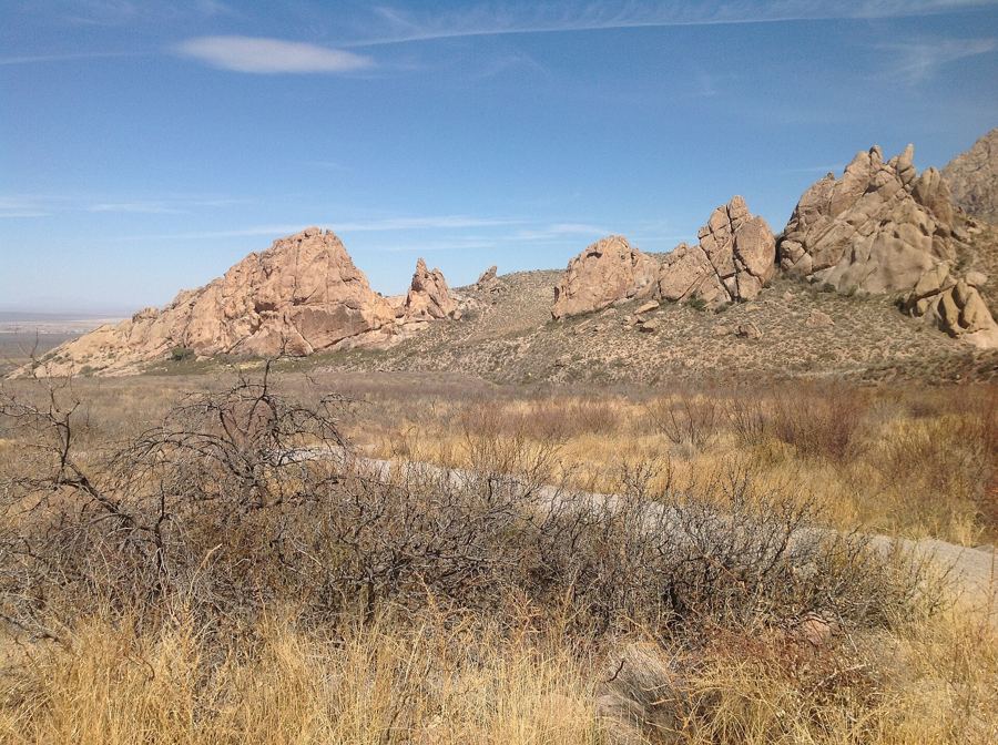 Down another streetDripping Springs and the old resort ruins
Trails for different days
The monument has walks for most abilities, from short nature paths to serious scrambles. Lengths, conditions and access change, so check with the visitor center or the land managers before you set out. As a rough guide:
- Easy: the short paths around the Dripping Springs visitor center and the walk to La Cueva, a rock shelter at the base of the cliffs used by people for thousands of years.
- Moderate: the trail to the Dripping Springs ruins, and the Pine Tree Trail loop at Aguirre Spring, which climbs through oak and juniper with big views east.
- Hard: Baylor Pass end to end, and the canyons that climb toward the high peaks.
- Technical: the summit of the Organ Needle and the other high spires involve route-finding and scrambling on steep rock. They are for experienced, well-equipped parties only.
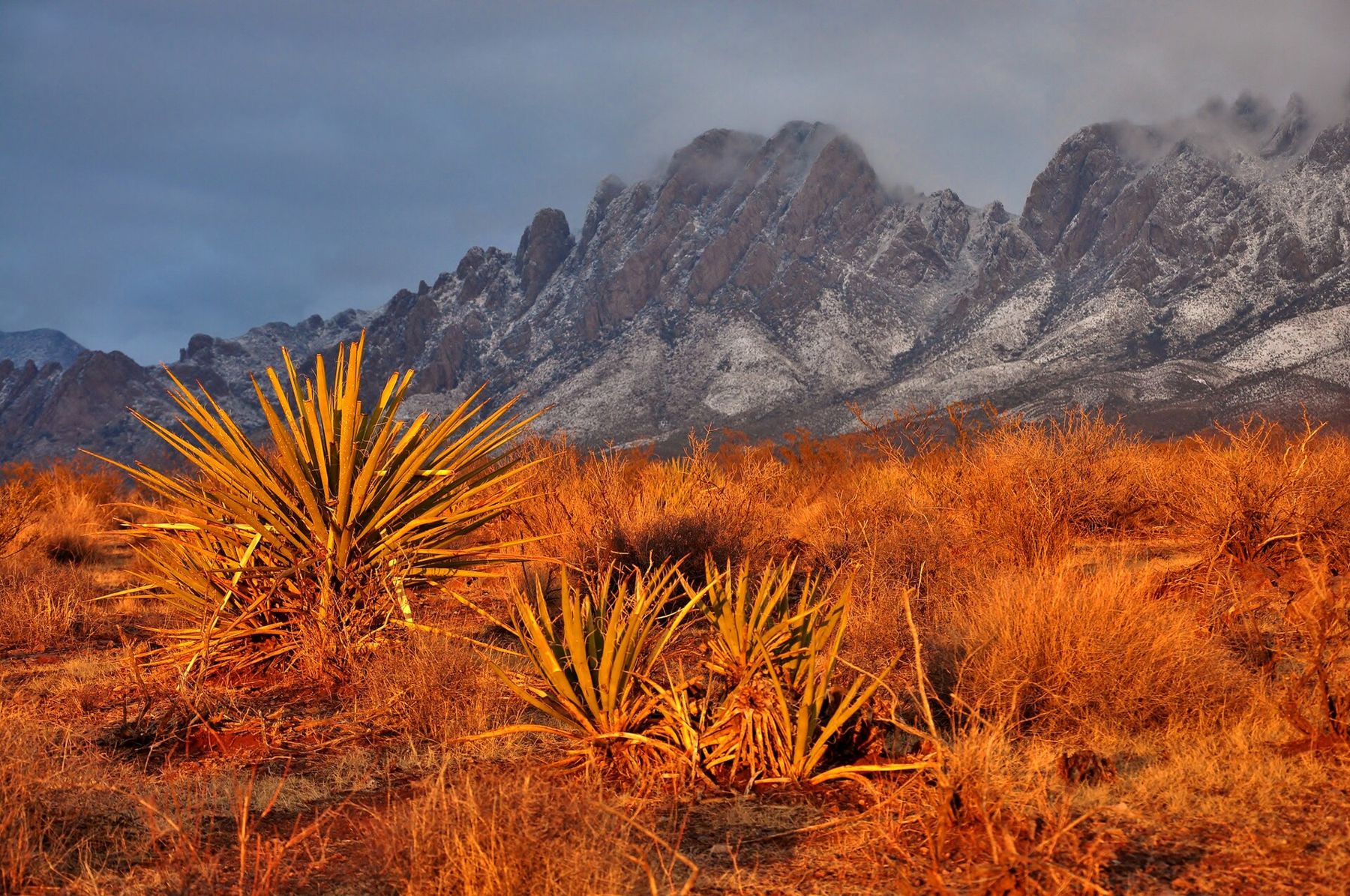
Along the way look for the plants of the Chihuahuan Desert: yucca, sotol, creosote bush, prickly pear and, higher up, oak and juniper. Mule deer are often seen at dawn and dusk. Rattlesnakes are active in the warm months; watch where you put your hands and feet, and give them room.
Heat, water and safety
The Organs are close to a city, and that makes them easy to underestimate. From late spring through early autumn the desert floor is very hot, with valley temperatures often reaching 100°F in early summer, and there is almost no shade on the lower trails. Many of the rescues in desert ranges like this one involve people who started late, carried too little water and turned an easy walk into a hard one.
- Start early in the day, especially from May to September.
- Carry more water than you think you need; do not count on finding any.
- Wear a hat, sun protection and shoes with good grip on loose gravel.
- Turn back if you run low on water or energy; the way down is still hot.
- Tell someone where you are going and when you expect to return.
In July, August and September, the summer monsoon brings afternoon thunderstorms. Lightning on exposed ridges is a real danger, and heavy rain can send sudden water down normally dry washes. Be off high ground by early afternoon in monsoon season, and never camp or wait out a storm in a wash.
Parts of the land near the range are military, including the White Sands Missile Range to the north. Respect closure signs and fences; they are there for good reason.
Choosing your season
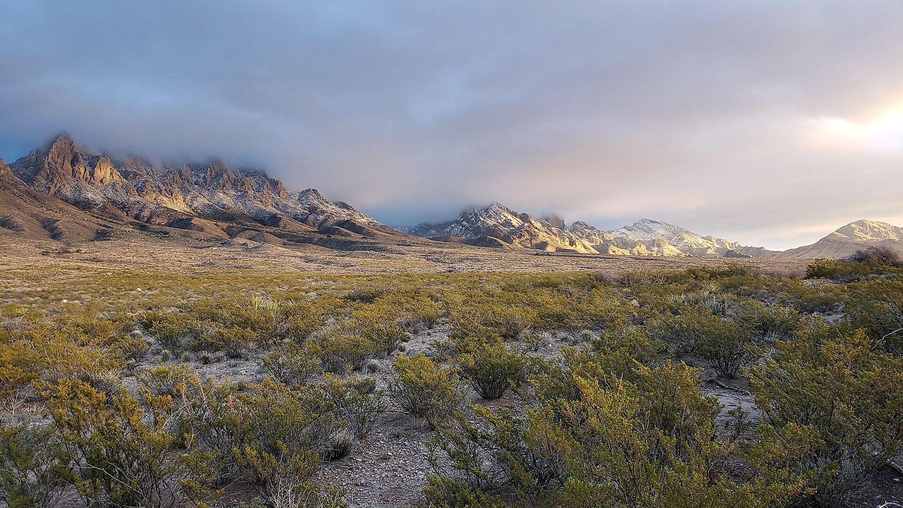
October through April is the comfortable season for hiking. Days are mild, nights are cool to cold, and the light is clear. Winter can bring snow to the high peaks and occasionally ice on shaded trails, which makes for beautiful views and slower walking. Spring is often windy. Summer is for very early starts, short walks, or simply watching the mountains from town at sunset.
Fees, gate hours and trail rules apply in some parts of the monument and can change; check before you go, especially if you plan to arrive at dawn or stay until dark. And if you are combining the range with other trips, the Organs sit between Las Cruces and the dunes of White Sands, about an hour east over the pass.
Whatever the season, give yourself one evening with nothing planned but the view. The mountains are at their best when you simply stop and watch the light leave them.