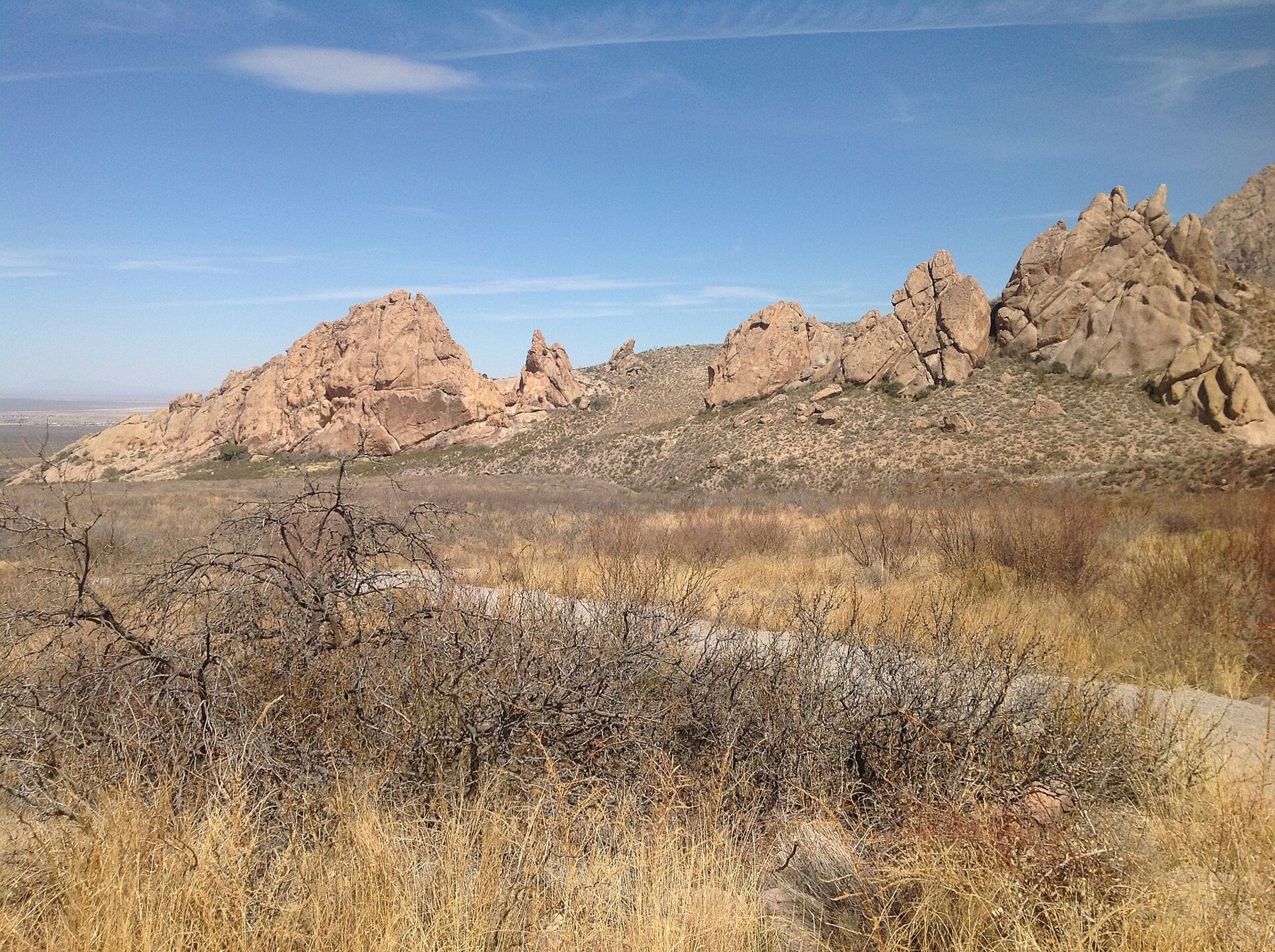
Dripping Springs is the easiest way into the Organ Mountains and one of the most rewarding. A gravel trail climbs gently from the desert floor into a canyon below the cliffs, ending at a small spring where water seeps from the rock, and at the ruins of a resort and a sanatorium built in a place that must once have felt very far from anywhere.
The trail starts at the Dripping Springs Natural Area, at the end of Dripping Springs Road east of Las Cruces. The drive takes you across the long desert slope below the range, with the rock spires growing larger in the windshield all the way. It is part of the Organ Mountains-Desert Peaks National Monument.
The walk
From the visitor center, the trail to the springs is about a mile and a half each way, roughly three miles round trip. It climbs steadily but never steeply, on a wide, well-kept path of packed gravel, gaining a few hundred feet as it heads toward the mouth of a canyon. Most people take between one and a half and two and a half hours with stops.
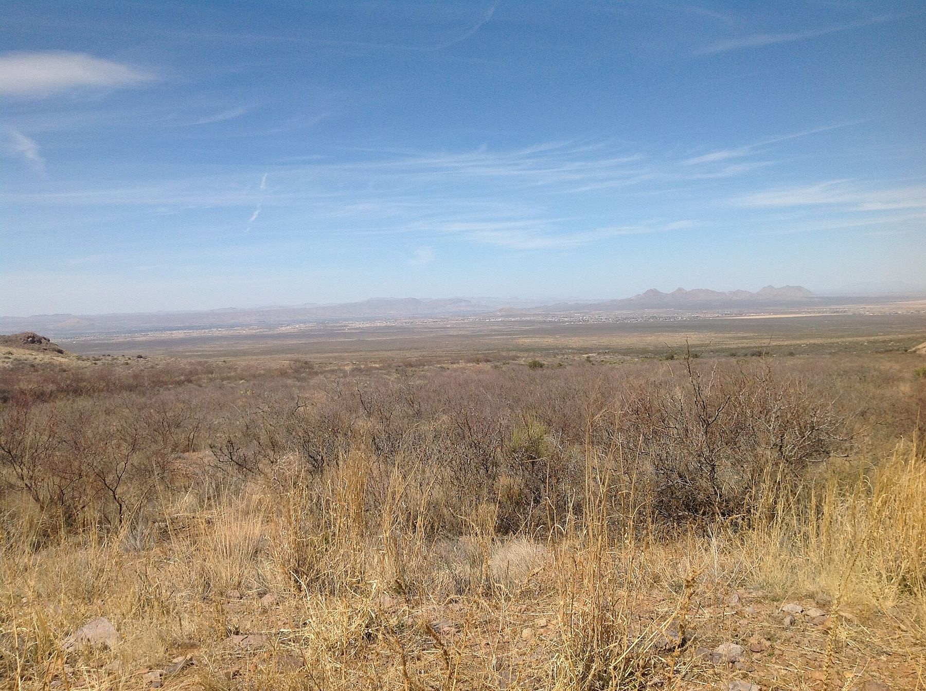
The first part crosses open desert scrub with long views back over the Mesilla Valley. As the trail climbs, the cliffs close in, the vegetation thickens, and the air near the canyon feels cooler on a warm day. Benches along the way give you a reason to stop, turn around and look at the city below.
The resort and the sanatorium
Toward the end of the trail the first stone walls appear. In the late nineteenth century this canyon held a mountain resort, built by Eugene Van Patten, a local figure who had worked on the stage routes through the region. Guests travelled out from Las Cruces to escape the summer heat of the valley, stayed in a hotel there, and spent their days walking, eating and listening to music in a setting that was remote even then.
The resort did not last. In the early twentieth century the property passed to a doctor who used it as a sanatorium for people with tuberculosis. Before antibiotics, dry desert air, sunshine and rest were among the few treatments on offer, and the Southwest drew many patients for that reason. Today what remains are foundations, roofless walls and fragments of buildings, some stabilized and fenced. Stay out of the ruins themselves; walls this old can be fragile.
It is worth pausing to imagine the place in use: wagons on the long climb from the valley, rooms full of people who had come a great distance hoping to recover, and the same spires overhead.
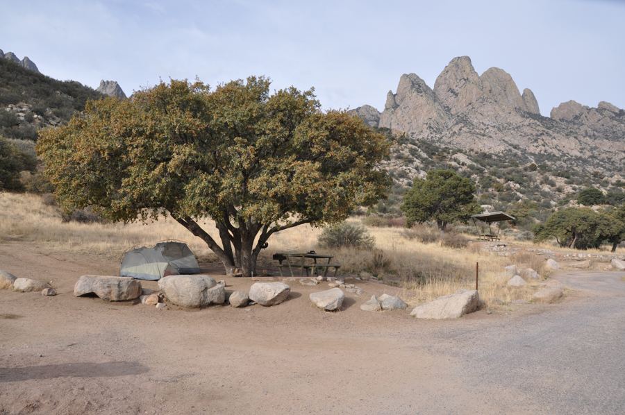 Down another streetAguirre Spring on the east face
The spring itself
At the head of the trail, water seeps and drips from a cliff face into a shaded hollow. How much water you see depends on the season and on recent rain or snow. After a wet winter or a strong monsoon there can be a steady patter; in a dry spell it may be no more than a damp streak on the rock. Either way, in country this dry, any water at all draws life.
The water is not for drinking. Bring all you need with you, and do not climb on the wet rock around the spring, which is slippery and easily damaged.
La Cueva and other short walks
Several shorter trails start near the visitor center or nearby. The best known leads to La Cueva, a rock shelter at the base of a granite outcrop. People have used it for thousands of years, and in the nineteenth century it was the home of a well-known Italian hermit, who was found dead there in 1869. The walk is short and easy and makes a good addition to the springs trail, or a substitute on a hot afternoon.
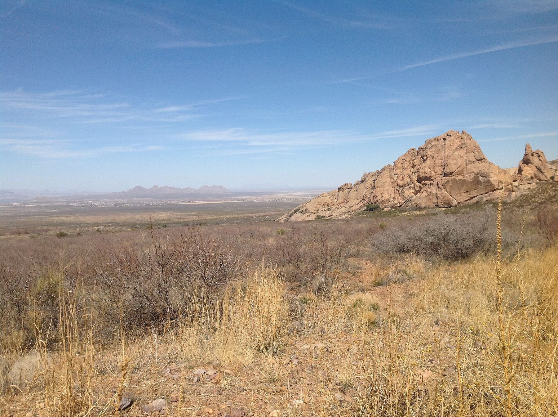
Other paths cross the bajada and climb toward neighboring canyons. Ask at the visitor center about current conditions and which routes are open.
Wildlife and plants
The area is a good place to see the Chihuahuan Desert up close. Along the lower trail look for creosote bush, mesquite, yucca, sotol and several kinds of cactus. Higher up, near the canyon, oaks, junipers and hackberry give some shade, and wildflowers appear after rain.
Mule deer are often seen in the early morning and late afternoon. Lizards are everywhere on warm days, and the cliffs host ravens and hawks. Rattlesnakes are present, mostly from spring to autumn. Stay on the trail, watch where you step, and leave any snake alone; it will move off if given space.
- Bring binoculars for birds around the spring and in the canyon.
- Keep your distance from deer and other animals; never feed them.
- Pack out everything you bring in.
Heat, hours and rules
The trail is easy, but the desert is not forgiving. In summer start as early as the gates allow, carry plenty of water and turn around if the heat gets to you. There is little shade on the lower half of the walk, and the return leg faces the afternoon sun. In July, August and September, watch for building thunderclouds over the peaks and head down before storms arrive.
The natural area is open during the day only, with gates that close in the evening, and a day-use fee applies. Hours, fees and rules, including those on dogs, can change, so check before you go. From Mesilla, the drive takes roughly half an hour; for routes and distances around the region, see getting here and around.
Cool months are the best time to come. From October to April the walk is comfortable at any hour, the light is clear, and the view back over the valley on the way down is one of the best in the area.