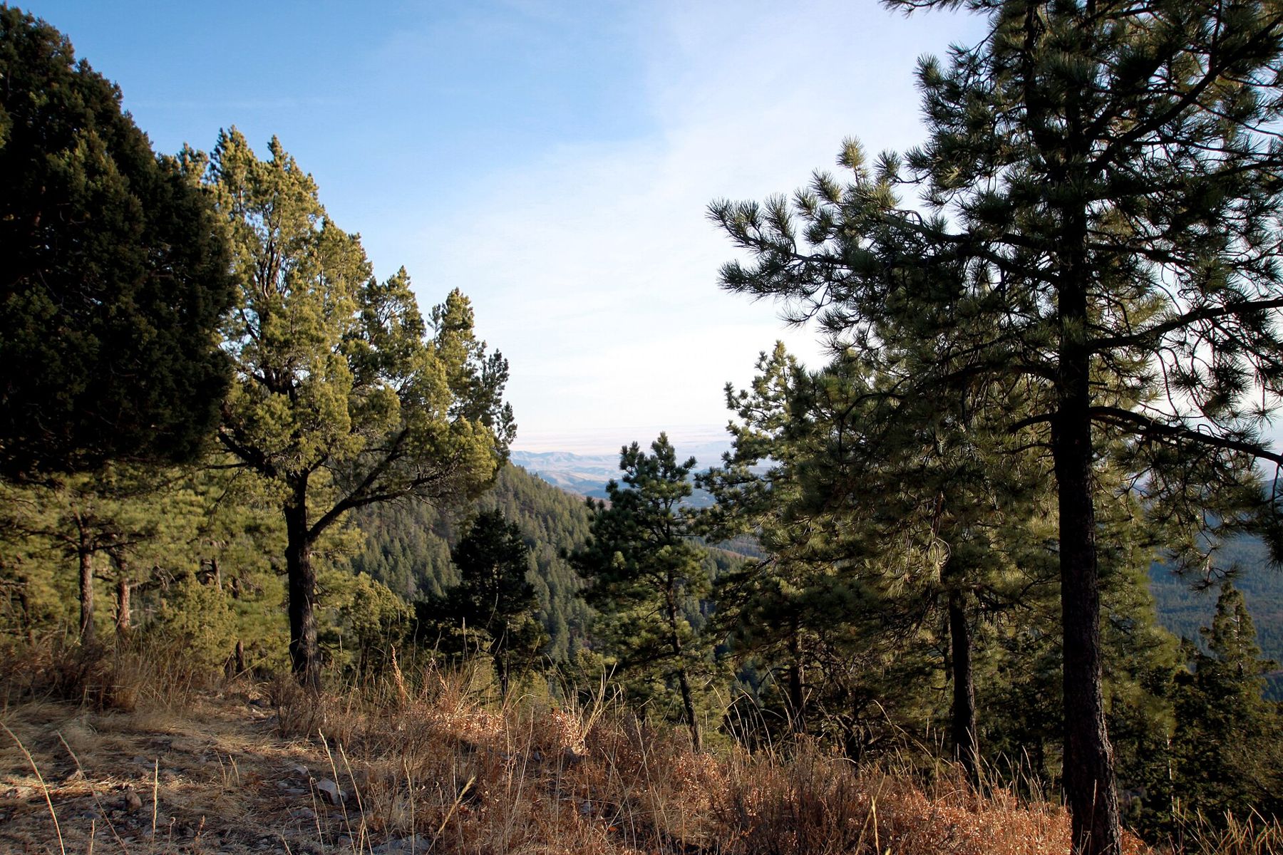
The Tularosa Basin is the kind of place that changes your sense of distance. It is a long trough of desert in south-central New Mexico, walled on the west by the San Andres and Organ mountains and on the east by the Sacramento Mountains, which rise steeply to forests of pine and fir. It runs for well over a hundred miles from north to south, and no river drains it to the sea. Rain and snowmelt run down into it and stay, which is why the gypsum of White Sands sits on its floor.
Most visitors see the basin only on the way to the dunes. Spend a day driving north instead and it reveals a quieter set of places: an old farming village, a ridge covered in rock art, and a lava flow young enough that the rock still looks freshly poured.
The shape of the basin
Much of the western side of the basin lies inside White Sands Missile Range and is closed to the public. The roads open to you run along the eastern side, close to the foot of the Sacramentos, so the drive north on US 54 follows the line where desert meets mountain. Creosote and mesquite give way here and there to cottonwoods and orchards where springs and canyon streams come out of the hills.
The view is best from above. Roads climb from Alamogordo into the Sacramento Mountains toward Cloudcroft and the solar observatory at Sunspot, and from the overlooks the whole basin lies spread out below, with the white smudge of the dunes and the far line of the San Andres beyond. The temperature drops sharply as you climb, so a trip up the mountain is also an escape from summer heat.
Tularosa village
About a quarter of an hour north of Alamogordo, the village of Tularosa sits where the Tularosa River comes out of its canyon. Hispanic settlers from the Rio Grande valley farmed here from the 1860s, and the town still has the feel of an irrigated oasis: acequias, shady cottonwoods, old adobe houses and a church on a small plaza. Pistachio and pecan orchards line the highway. East of town, the road climbs onto the Mescalero Apache Reservation in the mountains, a reminder that this basin was Apache country long before any town was built.
It is a good place to stop for water, fuel and a short walk under the trees before the empty stretch ahead.
Three Rivers Petroglyph Site
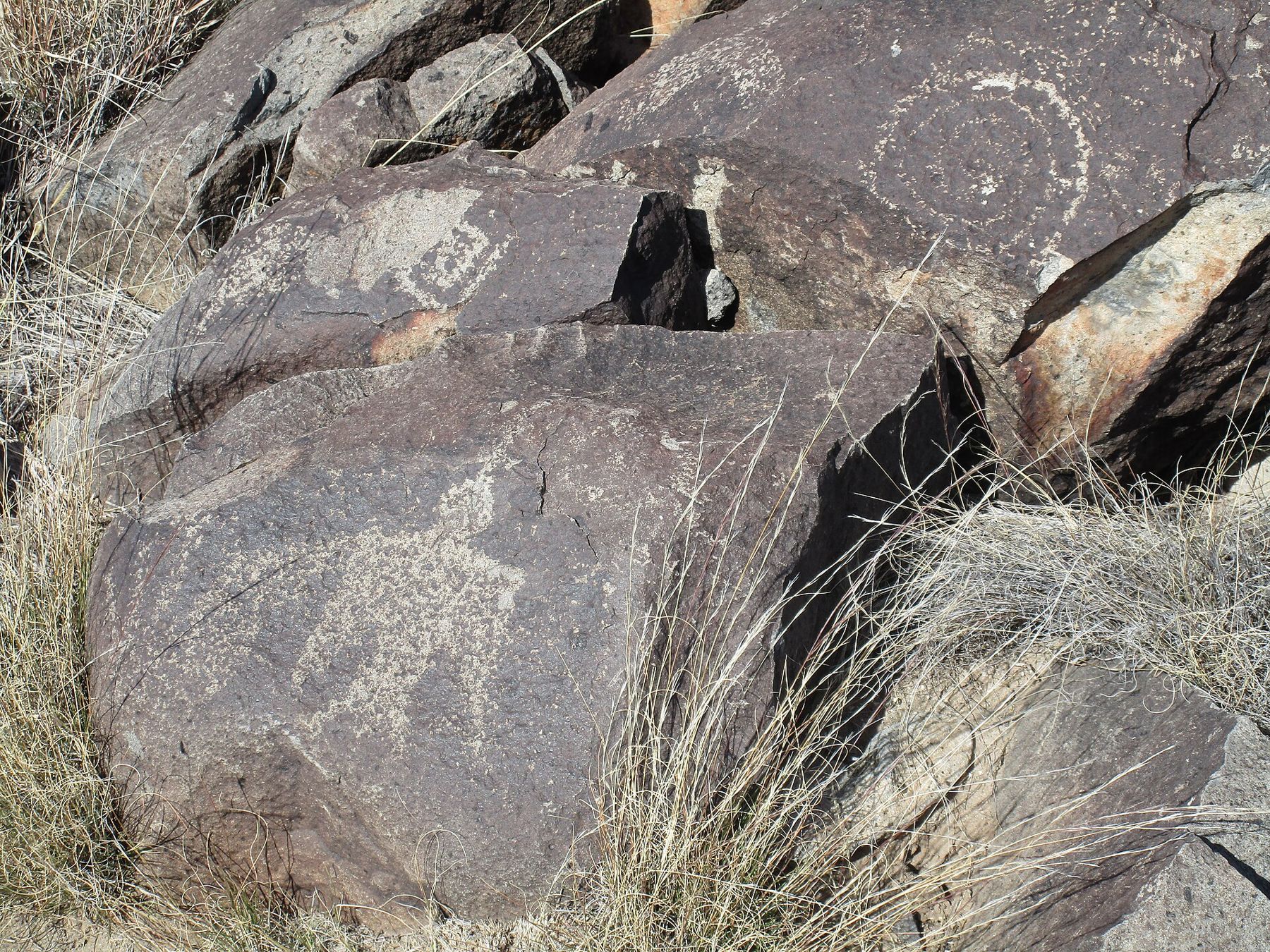
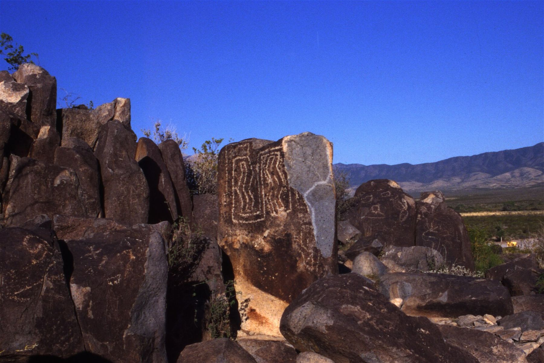
North of Tularosa, a signed side road leads east off US 54 to Three Rivers Petroglyph Site, a small public site on a low ridge of dark volcanic rock. The ridge is covered with more than twenty thousand petroglyphs, figures pecked into the rock surface by Jornada Mogollon people roughly between the tenth and fifteenth centuries.
The images are remarkably varied. There are masks and faces, bighorn sheep, birds, fish, insects, sunbursts, handprints and geometric patterns, some of them startlingly crisp after many centuries. A rough trail winds along the ridge for about half a mile, climbing over rocks, and almost every boulder along it carries something. Side paths lead to more. From the top you look west across the basin toward the dunes and north-east to the often snow-streaked summit of Sierra Blanca, the highest peak in southern New Mexico.
 Down another streetSpace history in Alamogordo
Treat the place with care. The petroglyphs are fragile and irreplaceable; do not touch, chalk or trace them, and keep to the trail. Near the parking area is a partly excavated village site from the same people, with the outlines of rooms still visible. There are shade shelters and a few campsites, but facilities are basic and conditions change, so check what is open before you rely on them.
Light matters here. In the low sun of early morning or late afternoon the pecked lines stand out in sharp relief; at noon they flatten into the rock. A morning visit also keeps you off the exposed ridge in the hottest part of the day.
Valley of Fires and the black lava
Keep going north and the basin narrows toward Carrizozo, a small railroad town at the junction with US 380. Just west of town, a long tongue of black lava crosses the valley floor. This is the Carrizozo lava flow, which poured from a vent to the north a few thousand years ago and spread for more than forty miles. It is one of the youngest lava flows in the continental United States.
The Valley of Fires Recreation Area sits on a sandstone island in the middle of the flow, with a campground, picnic shelters and a paved nature trail that leads out over the lava. Up close the rock is a jumble of ropy surfaces, collapsed tubes, cracks and pressure ridges, with plants rooted in every crevice. Yucca, cactus and juniper grow from the cracks, and lizards bask on the black stone.
Black rock absorbs the sun. On a summer afternoon the lava radiates heat like an oven, so go early, wear shoes with good soles, and keep children and dogs on the trail, where edges can be sharp and loose.
Planning the drive
The loop from Alamogordo to Valley of Fires and back covers well over a hundred miles. Services are thin between towns, so start with a full tank and plenty of water. Combining the trip with the dunes in one day is possible, but it is a long day; most people do better to stay in Alamogordo for a night, as suggested in getting here and around.
- Spring and autumn are the most comfortable seasons; summer midday heat is extreme on the rock.
- Spring winds can raise dust across the basin floor and cut visibility on the highway.
- Summer storms in July and August can bring lightning and flash flooding to washes and low roads.
- Trinity Site, where the first atomic bomb was tested in 1945, lies on the missile range west of this route and opens to visitors only on a few announced days; check the current schedule if you hope to see it.
For a day in the mountains on the other side of the San Andres, see the Organ Mountains-Desert Peaks.