
Las Cruces sits where two interstates meet in the Mesilla Valley, with the Organ Mountains to the east and the Rio Grande to the west. It is the second-largest city in New Mexico, but it does not have a large commercial airport of its own, and most of the places in this guide lie between half an hour and two hours away by road. A car is close to essential.
This guide covers the practical side: how to arrive, how far things are, and what the desert asks of drivers.
Flying in
Most visitors fly into one of two airports.
- El Paso International Airport, in Texas, is the closest major airport, about an hour's drive south-east of Las Cruces on I-10. It has flights from many large American cities and the usual range of rental cars.
- Albuquerque International Sunport, in the middle of the state, has more routes and sometimes cheaper fares, but it is roughly three and a half hours north of Las Cruces on I-25.
Las Cruces has its own airport, used mainly by private and small planes; scheduled airline service there has come and gone over the years, so check whether any is running when you plan. Shuttle services link El Paso airport with Las Cruces, but schedules change, so confirm before relying on one.
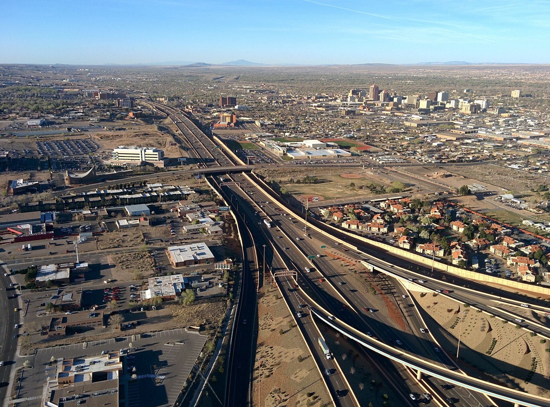
The interstates and the main roads
I-10 runs east to west through Las Cruces, linking El Paso with Deming, Tucson and the West Coast. I-25 begins in Las Cruces and runs north up the Rio Grande valley to Albuquerque, Santa Fe and Denver. Together they make the city a natural base.
Other roads you will use:
- US 70, east over San Agustin Pass to White Sands and Alamogordo.
- NM 185, the old road north along the west side of the river through farm villages toward Hatch.
- NM 28, south from Mesilla through the pecan orchards toward the Texas line.
- US 54, north from Alamogordo through the Tularosa Basin.
Rough driving times from Las Cruces: El Paso, under an hour; Hatch, about forty minutes; White Sands, about an hour; Alamogordo, about an hour and a quarter; Albuquerque, about three and a half hours. Traffic is usually light, but distances between fuel stops on the smaller roads can be long.
Getting around town
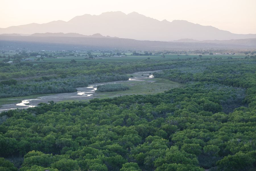
Within Las Cruces, the city's RoadRUNNER Transit buses cover the main corridors, though service is limited in the evenings and on Sundays. Taxis and ride-hailing exist, but you cannot count on them for trips out of town. Mesilla's plaza and the downtown Main Street area are pleasant on foot, and the city has a growing network of paths for walking and cycling, including stretches along the river and the irrigation canals.
Amtrak's long-distance train between New Orleans and Los Angeles stops in El Paso and Deming a few times a week, which works for slow travellers but rarely fits a short trip. Long-distance buses also serve the city.
 Down another streetHow Mesilla changed countries
Heat, wind and storms
The desert sets the terms. Summer days often top 100 degrees Fahrenheit, and a breakdown on an empty road becomes dangerous quickly. Keep a gallon or more of water in the car, carry a phone charger, and do not let the fuel tank run low.
- Dust storms can sweep across I-10 west of Las Cruces, especially in spring, cutting visibility to almost nothing. If you are caught in one, pull fully off the road, turn off your lights, take your foot off the brake and wait.
- Monsoon storms arrive in July and August with lightning, sudden downpours and flash floods. Never drive into a flooded dip or wash; the water is often deeper and faster than it looks.
- Winter is mild in the valley, but San Agustin Pass and the roads into the Sacramento Mountains can see ice and snow.
- Night brings cattle on open-range roads and deer near the mountains. Most country highways are unlit.
Checkpoints and the missile range
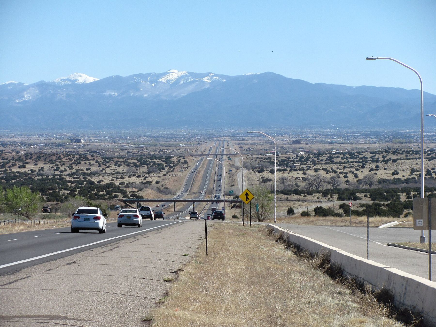
Southern New Mexico is border country. The Mexican border lies just south of the region, and Border Patrol operates permanent checkpoints on several highways leading north and inland, including I-25 north of Las Cruces and US 70 on the way to White Sands. Every vehicle slows or stops, and agents may ask about your citizenship. Carry identification for everyone in the car, and if you are not an American citizen, carry your passport and the documents for your visa or status.
US 70 between Las Cruces and Alamogordo also crosses White Sands Missile Range and closes for short periods during tests, typically an hour or two. The closures are announced in advance. Check before you set out, especially if you are heading for the dunes at a particular time.
A few planning habits
A little planning goes a long way out here. Look up the current status of parks and roads on the morning you travel, since closures for weather, fire and testing are common. Start long drives early, both to avoid the heat and to arrive in daylight. Expect patchy mobile signal in the mountains and on the missile range roads, and download maps before you leave town.
Above all, give yourself time. The drives are part of the experience: the long views from the pass, the green ribbon of the valley, the mountains changing colour through the day. For one of the most rewarding short drives from town, see the Organ Mountains-Desert Peaks, and for a longer day out, across the Tularosa Basin.